Providing world class defence-security and intelligence solutions.
The Mission
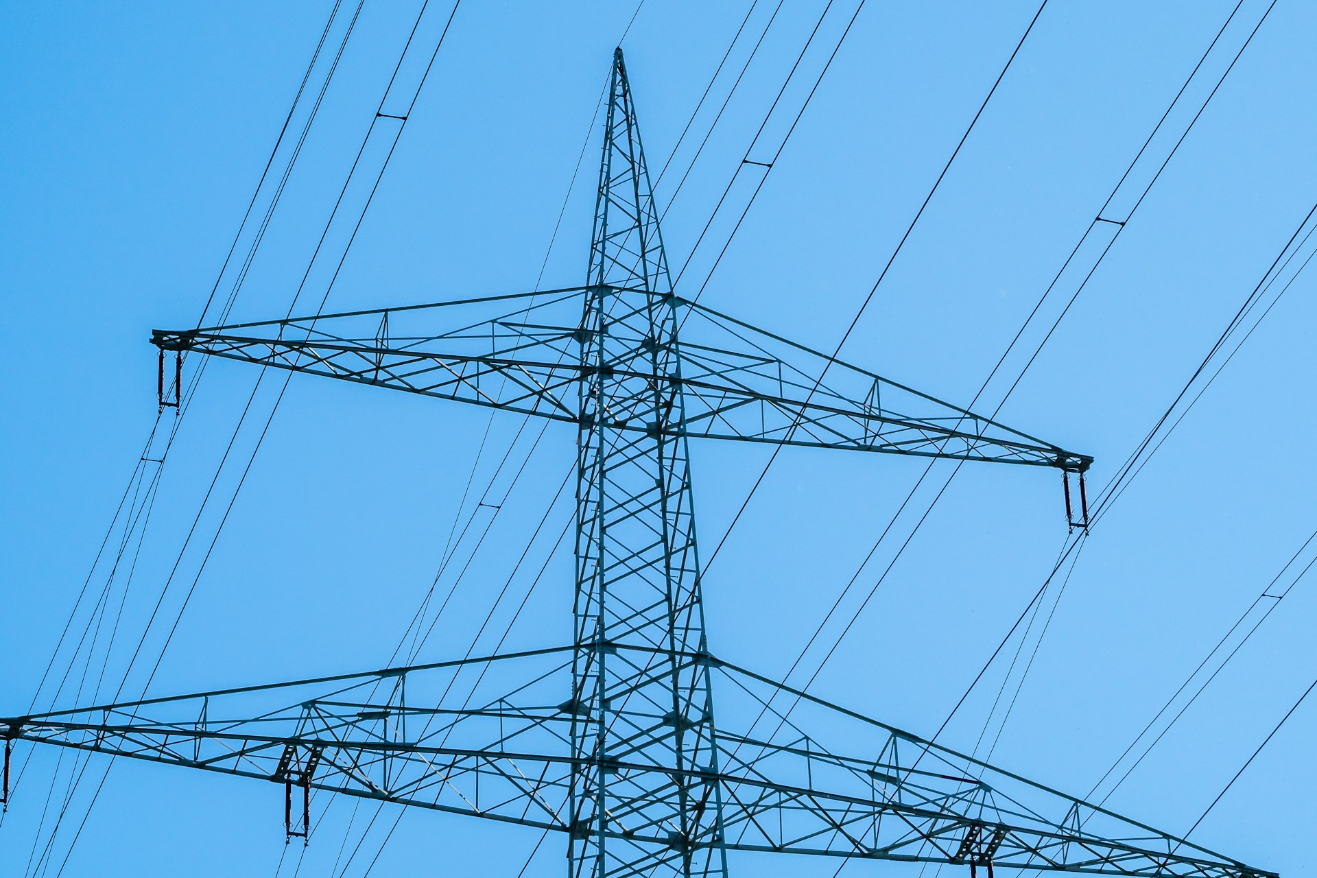

We are dedicated to a fusion of satellite technology and aerial intelligence for the protection of power grid.

Power Grid Surveillance: Monitoring power grid infrastructure for security threats, anomalies, and maintenance issues.
Telecommunication Cable Protection: Detecting and preventing damage to telecommunications cables, ensuring reliable communication services.
Energy Infrastructure Security: Securing energy infrastructure, such as pipelines, refineries, and storage facilities, from potential threats.
Intrusion Detection: Identifying and alerting on potential intrusions or anomalies near critical infrastructure.
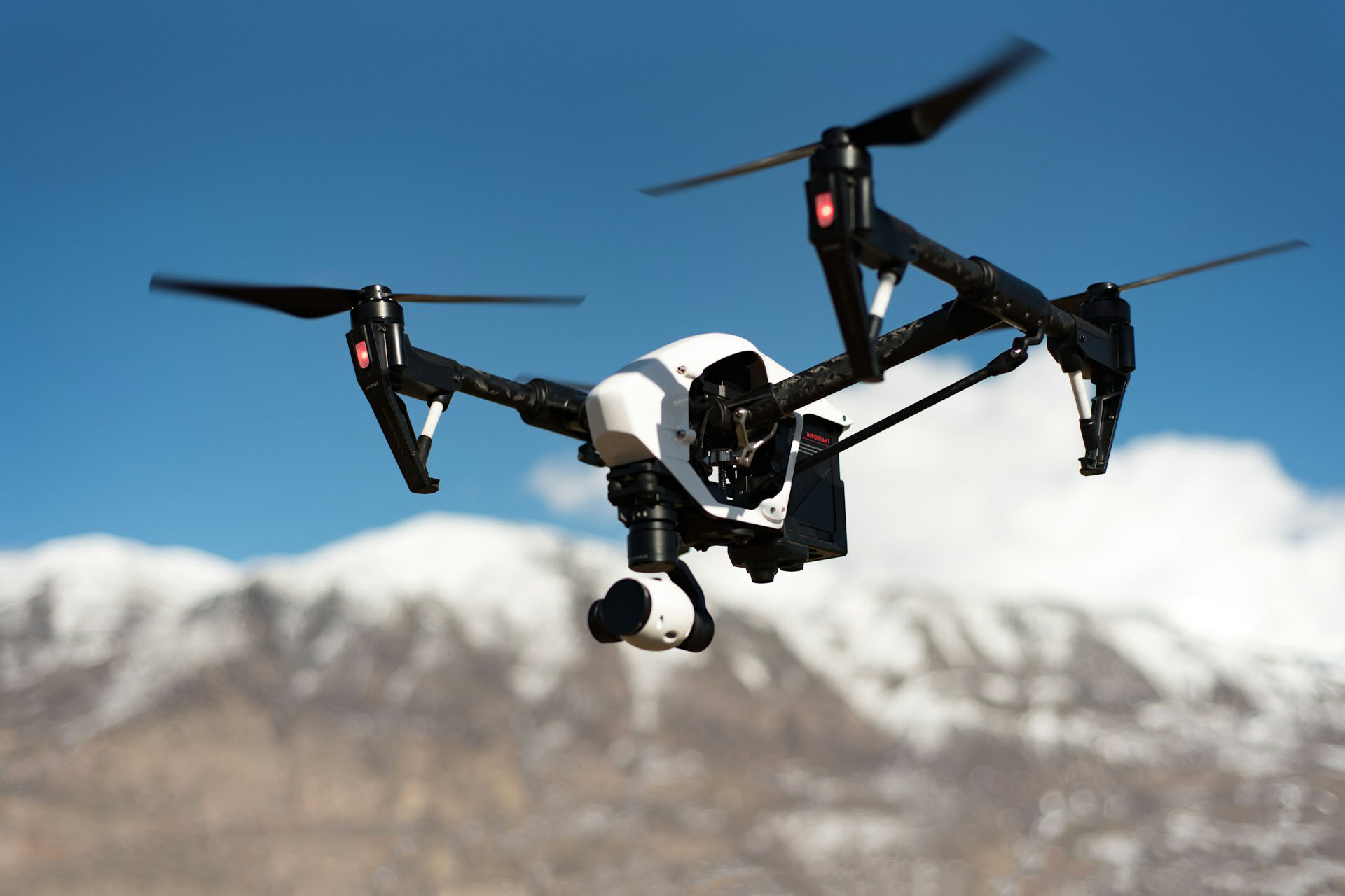
Surveillance and Monitoring: Providing real-time surveillance and monitoring of critical infrastructure and sensitive areas.
Threat Assessment and Analysis: Conducting thorough threat assessments and analysis to identify potential vulnerabilities and provide recommendations for mitigation.
Vegetation Management: Analyzing satellite and aerial imagery to identify vegetation encroachment near power lines and telecommunications cables.
Asset Inspection: Conducting regular inspections of critical infrastructure using satellite and aerial imagery to identify potential maintenance issues.
Predictive Maintenance: Analyzing data to predict potential maintenance issues, enabling proactive repairs and reducing downtime.
Disaster6 Response: Providing critical situational awareness and damage assessments following natural disasters or other events that impact critical infrastructure.
Damage Assessment: Conducting detailed damage assessments to support recovery efforts and prioritize repairs.
Recovery Support: Providing geospatial analytics and insights to support recovery efforts and restore critical infrastructure.
Security Consulting: Providing expert security consulting services to help organizations protect their critical infrastructure.
Training and Capacity Building: Offering training and capacity-building programs to help organizations develop the skills and expertise needed to protect their critical infrastructure.
Geospatial Analytics: Providing geospatial analytics and insights to support critical infrastructure protection, maintenance, and operations.
Data Integration: Integrating satellite and aerial data with other sources, such as sensor data and SCADA systems, to provide a comprehensive view of critical infrastructure.
Providing world class defence-security and intelligence solutions.
Website designed with 💖 by First Vertical Origin